
Noaa: Strong El Nino Points To Warmer, Wetter Winter Across U.S.
Federal forecasters say a strong El Nino event is shaping winter conditions, with the Midwest expected to stay drier and drought conditions likely to persist.
By Jisoo Kim ·
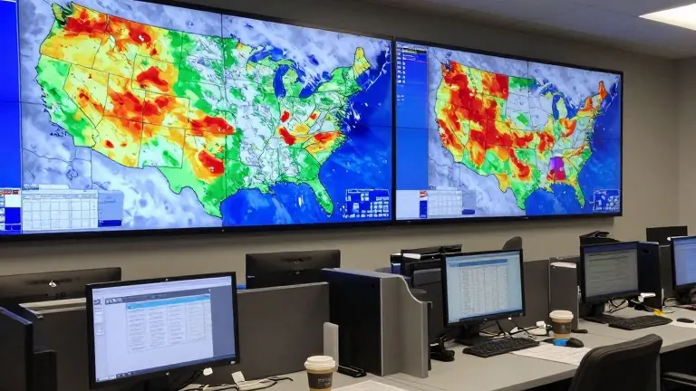
A strong El Nino is expected to steer winter weather across the United States this year.
The National Oceanic and Atmospheric Administration released its winter outlook in late October, forecasting warmer-than-average temperatures across much of the continental U.S. and above-average precipitation in several regions. Ken Graham, director of NOAA's National Weather Service, described the event at an October briefing. "It's a strong, if not historic El Niño going into this winter," Graham said. Forecaster Jon Gottschalck, a NOAA meteorologist and branch chief who spoke at the same briefing, said drought conditions are expected to persist across the Midwest this winter, with concern the current drought could worsen. The U.S. Geological Survey reports Michigan, Ohio and Indiana tend to be drier during El Niño winters, while Iowa tends to be wetter. Higher precipitation chances are concentrated in the southern U.S. Gottschalck said snow is possible in areas that rarely see it, including northern Texas. Northern Florida, southern Georgia and southern South Carolina carry the highest chances in the continental U.S. for above-normal precipitation this winter. In the Southwest, severe flooding in the late-October Four Corners area, where New Mexico, Colorado, Arizona and Utah meet, forced rooftop rescues and evacuations after two months of unusually wet weather. Daniel Swain, a climate scientist with the University of California Agriculture and Natural Resources, said El Niño is partly to blame for the recent floods, and that moisture from record-warm West Coast waters fueled the severe thunderstorms. Swain said wetter conditions will not end the water crisis in the Colorado River basin, where Lake Powell and Lake Mead sit at record low levels after years of drought and growing demand. Along the West Coast, forecasters expect warmer temperatures in Northern California and above-average precipitation statewide, with the heaviest amounts in Southern California. A Kelvin wave, a large band of warm water, raised sea levels off California in early October, and another wave was moving between Los Angeles and San Francisco in late October. Dillon Amaya, an assistant professor of atmospheric sciences at North Carolina State University, said Kelvin waves do not cause flooding by themselves but increase the likelihood of flooding. The Pacific Northwest is forecast to warm, though parts of the region are expected to see below-average precipitation, which would mean a smaller snowpack. Gottschalck said drought conditions in western Oregon and Western Washington could improve or end. In the Northeast, forecasts show warmer temperatures and above-average precipitation, and studies suggest El Niño can strengthen and increase the frequency of nor'easters. Graham said a mild winter does not eliminate snow risk. "It doesn't erase the risk," Graham said.
image_promptA wide-angle photorealistic news scene of a weather operations center: multiple large wall monitors showing colorful winter precipitation and temperature outlook maps of the United States, a long desk with computers, coffee cups, and printed forecast charts, cool overhead fluorescent lighting mixed with the blue glow of screens, neutral gray and white interior, no people visible, no readable text or logos.
image_promptA wide-angle photorealistic news scene of a weather operations center: multiple large wall monitors showing colorful winter precipitation and temperature outlook maps of the United States, a long desk with computers, coffee cups, and printed forecast charts, cool overhead fluorescent lighting mixed with the blue glow of screens, neutral gray and white interior, no people visible, no readable text or logos.
Source: WBAA · original report published
More News · Indianapolis news · Report a business · Got a Story?